Course Maps

New Paragraph

Course Maps & Links
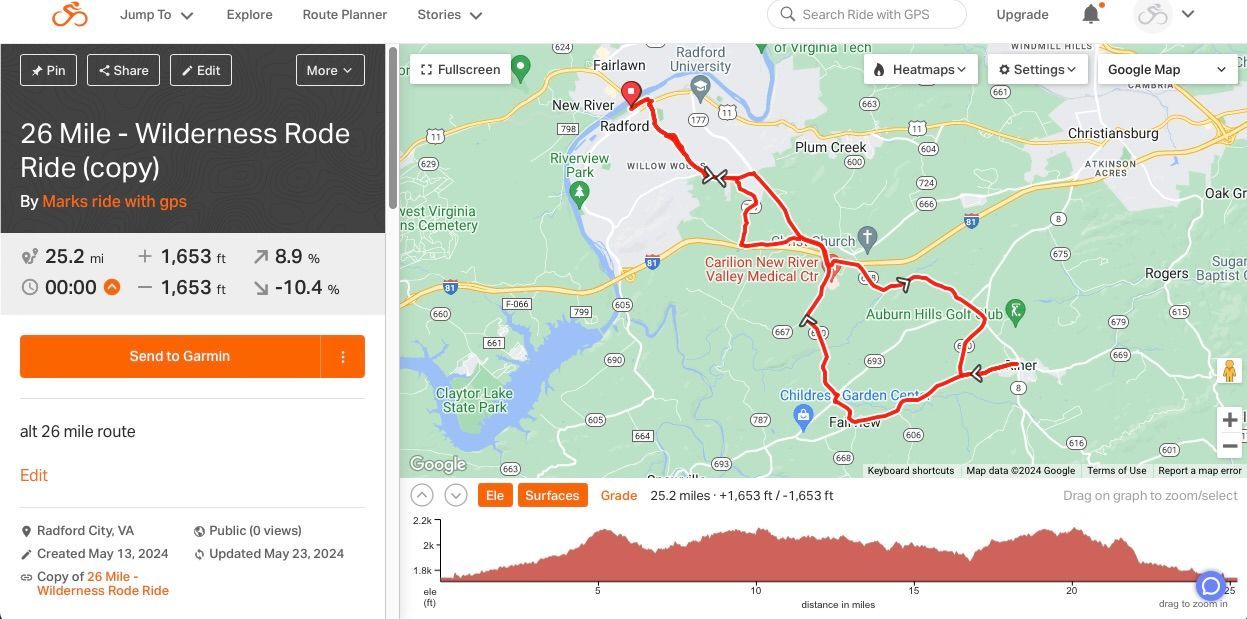
26 Mile Route, 1653' elevation gain - pdf cue sheet - Map Link
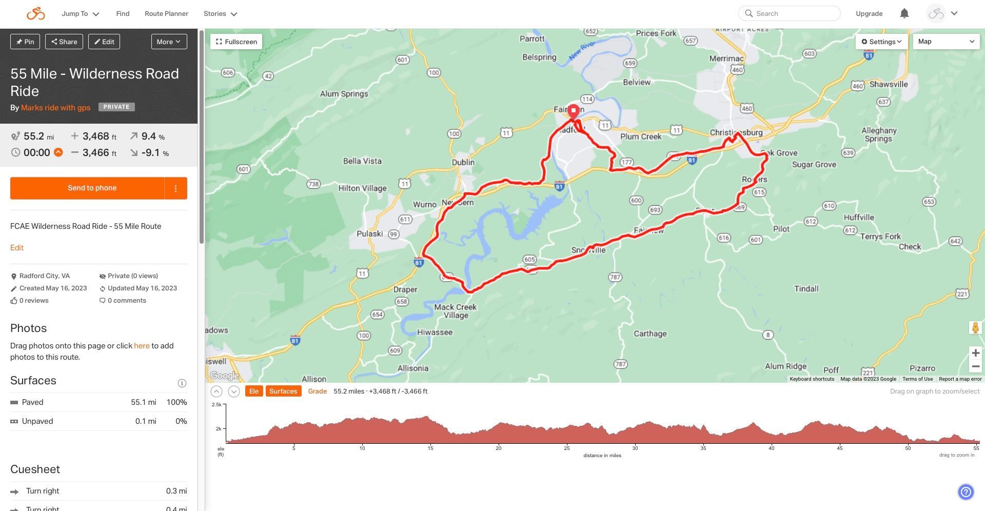
55 Mile Route, 3468' elevation gain - pdf cue sheet - Map Link
100 Mile Route, 7816' elevation gain - pdf cue sheet - Map Link
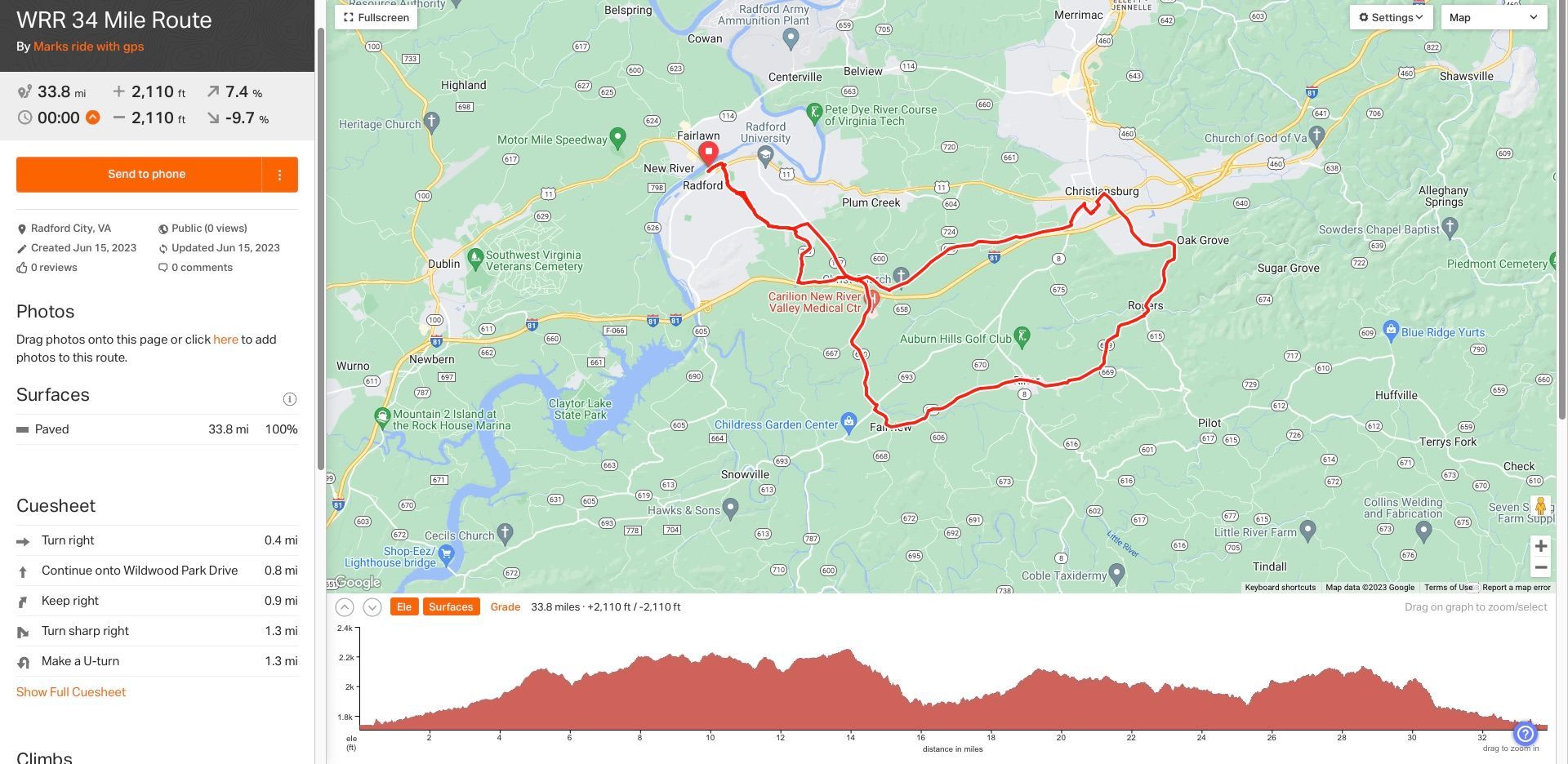
34 Mile Route, 2110' elevation gain - pdf cue sheet - Map Link
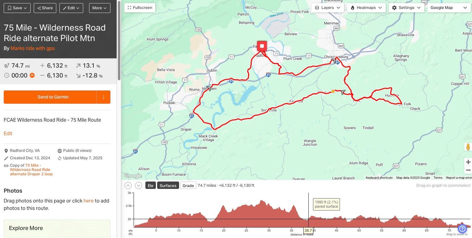
76 Mile Route, 5807' elevation gain - pdf cue sheet - Map Link
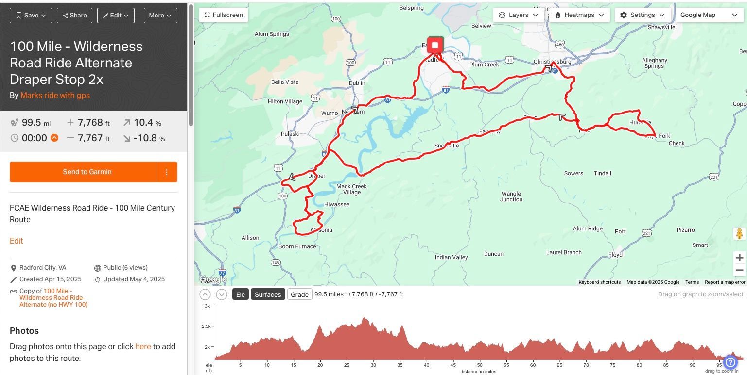
 Those doing the 76 miler and century, please note there is a cut off time at Lowmens Ferry at 11:00am (36 miles in for the 76 miler and 54 miles in for the century.) that time riders will be instructed to turn right onto Lowmen's Ferry.


All Route Map pdf (x century)

Share by: